
Archived · off the daily board · Archive
official data
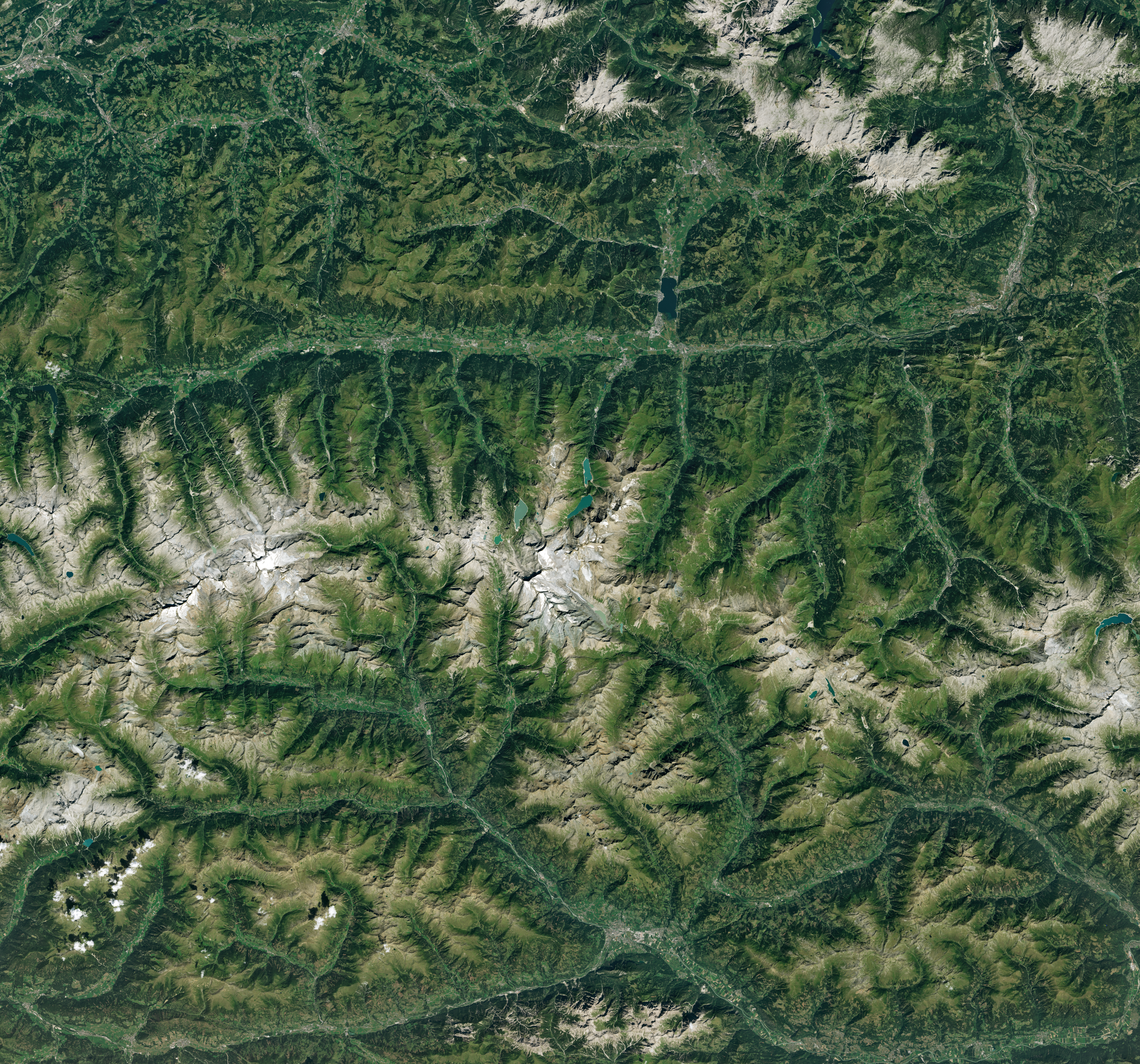
Pasterze, Austria’s largest glacier, hangs on one icefall — Landsat 9, 15 Aug
Austria’s largest glacier is still one icefall from losing that title. NASA Earth Observatory’s Image of the Day for 31 August 2026 (no clock time on the page) pairs a Landsat 5 Thematic Mapper scene from 22 August 1985 with a Landsat 9 OLI scene from 15 August 2026. In the 2026 image, NASA writes, only one icefall — the Hufeisenbruch — still connects the upper accumulation zone to the valley ice. Mid-August 2026 photos confirmed that connection was still intact, University of Graz glaciologist Andreas Kellerer-Pirklbauer told NASA.
Key facts
- IOTD date
- Aug 31, 2026 (NASA Earth Observatory; no clock time on the page)
- Landsat 5
- 22 Aug 1985 (TM)
- Landsat 9
- 15 Aug 2026 (OLI)
- Remaining connection
- Hufeisenbruch icefall (only remaining upper-to-lower link in the 2026 scene)
- Icefall width (Graz)
- nearly 900 m (3,000 ft) in 1998 to 120 m (390 ft) in 2025
- Retreat
- since the mid-1800s; mass loss almost continuous and accelerating since 1980; small advances in only seven years since 1879
- Valley ice
- almost stagnant starting in the 2010s; penultimate upper-zone connection a waterfall by 2020
- Proglacial lake
- area increased exponentially 1998–2019 (Kellerer-Pirklbauer et al., cited by NASA)
- 2026 heat (NASA citing Copernicus)
- highest combined June and July temperatures on record in Western Europe
- If Hufeisenbruch fails
- largest-glacier status would pass to Gepatschferner, Ötztal Alps, Tyrol
Amid Europe’s scorching summer of 2026, Austria’s largest glacier was holding on by one dwindling thread of ice.
NASA Earth Observatory / Lindsey Doermann, Image of the Day, 31 August 2026
Note
NASA Earth Observatory images by Michala Garrison use USGS Landsat data. Story by Lindsey Doermann. Image of the Day for 31 August 2026; no publication clock time is printed.
What the 1985–2026 pair shows
- 1985: higher-elevation ice fed the valley through multiple icefalls.
- 2026: only Hufeisenbruch remained; valley ice had receded; a proglacial lake occupied much of the former ice area.
NASA does not date the icefall’s failure. Kellerer-Pirklbauer told NASA observers expect the connection to last until at least 2027 if autumn and winter temperatures are relatively normal. That is a named scientist’s expectation, not a Doom Signals forecast.
Why it matters
This is a dated Landsat pair of one named glacier, not a global ice-apocalypse clock. The Hufeisenbruch width numbers are University of Graz measurements as reported by NASA, and the 2026 scene still showed the icefall intact. Distinct from Nepal landslide notes.
Sources
- NASA Earth Observatory, Image of the Day
- Kellerer-Pirklbauer et al., The Cryosphere (2021), Pasterze lake 1998–2019
- Copernicus Climate Change Service (cited on the NASA page for Western Europe June–July 2026 heat)
Official data.
Doom Signals desk · About · Contact · Corrections. Spotted an error? Write the desk; fixes go on the public log.