
official data
Red Flag Warnings stretch across five states as humidity crashes
Official NWS Red Flag Warnings blanket parts of Montana, Wyoming, North Dakota, Idaho, and northwest South Dakota on September 10 — dry fuels, single-digit-to-teens humidity, and gusty west winds on a critical fire-weather day.
Key facts
- States
- Montana, Wyoming, North Dakota, Idaho + northwest South Dakota (Harding County) in Billings Fire Zone 133
- Offices
- NWS Billings, Glasgow, Missoula (MT); Riverton, Cheyenne (WY); Bismarck (ND); Pocatello (ID) — 11 active features at fetch
- Valid window
- ~noon–8/9 PM MDT 10 Sep (Bismarck western ND 1–9 PM CDT); most expire 02:00–03:00 UTC 11 Sep
- Cheyenne AOR
- West winds 15–30 mph, gusts ~40 mph, RH 5–13% (some segments 5–10%)
- Riverton / Billings
- RH as low as ~7–8%; Billings gusts ~40 mph / RH ~10%; Zone 133 Harding SD gusts ~30 mph / RH ~12%
- Bismarck / Pocatello / Missoula
- 14 western/south-central ND counties RH ~13%; Pocatello Upper Snake RH ~11% gust ~35 mph; Missoula East Beaverhead RH 10–15%
- Meaning
- Critical fire-weather conditions occurring or imminent — not that a named wildfire is necessarily burning
- Live
- Post-expiration status → live HUD / local NWS + SPC fire-weather outlooks
Five-state Red Flag coverage is the dry-air siren for the northern Rockies and Plains — humidity in the single digits in places, gusts to 40 mph, fuels already primed. The warning does not invent a fire; it says any ignition can run.
Desk reading of NWS CAP / SPC fire outlook
Note
On September 10 the fire-weather strip lights up from southeastern Idaho and Wyoming through Montana into western North Dakota and into Harding County, South Dakota. NWS Red Flag Warnings stack the same ingredients in plain language: west winds with 30–40 mph gusts, afternoon humidity down toward 5–13%, warm temperatures, dry grass and timber. Cheyenne, Riverton, Billings, Bismarck, Pocatello, Glasgow, and Missoula all signed the same kind of ticket. Critical fire weather is not a campfire lecture — it is the official panel saying the air will help a spark become a run.
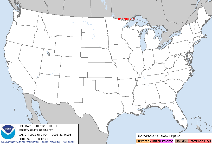
Attribution: National Weather Service Red Flag Warning CAP via api.weather.gov, 10 Sep 2026. Outlook graphic: NOAA/NWS Storm Prediction Center Day-1 fire-weather outlook. The Watchers 10 Sep piece was intake pointer only; FACT numbers from NWS CAP text.
Why it matters
A corridor where the weather itself is the accelerant. After evening expiration stamps, do not assume the same map — see live HUD.
Sources
Official data. Live values go to the HUD / source product.